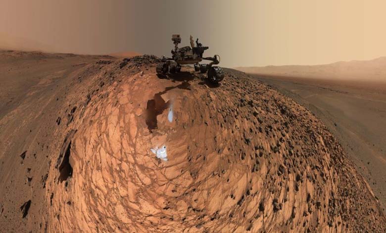
“NASA” reveals the latest images of Mars… a breathtaking scene

The American space agency’s spacecraft, “Odyssey,” captured a new image of the Martian horizon from an altitude of about 400 kilometers.
The image is considered an achievement, and scientists say it will allow them to compare Mars to Earth by examining similar pictures taken from the International Space Station.
Astronomer Jonathan Hill from the University of Arizona says, “No Martian spacecraft has had this type of vision before.”
The image was captured using the Thermal Emission Imaging System (THEMIS), a special thermal emission imaging system on Odyssey, according to “Science Alert.”
To see the Martian horizon, scientists had to send commands to tilt the entire “Odyssey” orbiter by 90 degrees and direct THEMIS toward the edge of the horizon, keeping the spacecraft in this position throughout its orbit to allow THEMIS time to capture a series of 10 images that were stitched together to create the panorama.
The optimal position for capturing the image was to point the spacecraft’s antenna away from Earth, meaning “Odyssey” was out of contact with Earth during the hours it took for the project. However, the result was worth the time and effort, showing the dry surface of Mars filled with craters in the foreground, a strange and wonderful natural sight.
At the top, the thin and fragile Martian atmosphere floats, with clouds and suspended dust.
Mars has water ice clouds, similar to Earth, as well as carbon dioxide ice clouds that form when weather conditions are suitable.
Now, after Odyssey has demonstrated its capabilities, researchers hope to capture more images of the Martian horizon during different times of the year to understand how the atmosphere changes with the seasons.


