Eye of the Sky: Iran’s losses after two weeks of war
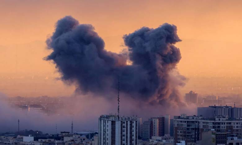
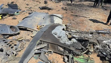
Recent satellite images have revealed one of the clearest views yet of the scale of damage to Iran’s facilities and infrastructure, after approximately two weeks of escalating U.S.-Israeli military operations targeting sites within the country.
An analysis of the satellite images, published Friday by researchers at Oregon State University, shows that the strikes hit a wide range of facilities across multiple regions of Iran, in a pattern suggesting a geographically dispersed campaign rather than concentration on a single front, reflecting the current nature of the conflict characterized by simultaneous and scattered operations deep inside Iranian territory.
The analysis, conducted by Corey Schirr and Jamon van den Hoek from the Conflict Ecology Lab, was based on comparing radar data captured by the Sentinel-1 satellite before the strikes began on February 28, with subsequent images collected between March 2 and 10.
According to The Washington Post, this technology is used to detect structural changes in urban environments by analyzing radar reflections from buildings and installations.
Extensive damage in major cities
The results indicate widespread damage, particularly in Tehran, the capital and largest city in terms of population, as well as in Shiraz, located in south-central Iran.
In Bandar Abbas, a coastal city on the Strait of Hormuz, the analysis revealed that more than 40 facilities suffered varying degrees of damage.
This city holds significant strategic importance, housing a major naval base and serving as one of the region’s key maritime shipping hubs, at a time when nearly one-fifth of the world’s oil supply passes through the strait.
Satellite images also show damage to military facilities, seaports, sites linked to drone programs, as well as airbases and other military infrastructure in scattered regions across the country.
Some analyses indicate that the strikes also targeted infrastructure connected to Iran’s naval and drone capabilities, aiming to weaken its ability to operate in the Gulf and surrounding areas.
Radar technology reveals what war conceals
The researchers’ analysis relies on synthetic aperture radar technology, which allows monitoring of the earth’s surface day and night, even in cloudy or smoky conditions, making it an effective tool for tracking destruction in conflict zones.
However, the researchers note that this technology cannot capture all types of damage. It primarily focuses on major changes in building structures, meaning smaller damages or those in rural or undeveloped areas may not appear clearly in the analysis.
Van den Hoek stated that the pattern of damage indicates that military operations are not focused on a specific front but are distributed across distant areas in a short time, reflecting the current conflict strategy based on long-range, coordinated strikes.
Lack of field information
Satellite images take on particular importance given the severe restrictions on information flow from within Iran. Widespread internet outages in the country make it difficult to verify the extent of damage or obtain independent field information, while some U.S. companies providing high-resolution satellite imagery have temporarily restricted access to images of conflict zones.
Geospatial data analysis has become one of the main investigative tools in modern conflicts, having previously been used to document destruction in Ukraine, Gaza, and Sudan.
Extent of military operations
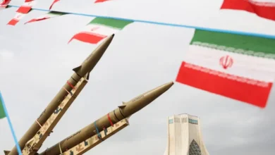
On the military front, U.S. Secretary of Defense Pete Hegseth stated at a Pentagon press conference that U.S.-Israeli strikes had targeted more than 15,000 objectives since the beginning of the conflict, indicating the breadth of ongoing operations.
Experts estimate that these strikes included airbases, maritime facilities, drone and missile storage sites, as well as military infrastructure related to Iran’s defensive and offensive capabilities.
Satellite radar data also indicate that the ongoing war does not follow the pattern of traditional conflicts with distinct front lines, but relies on long-range strikes targeting multiple sites simultaneously, including military installations and strategic infrastructure deep inside Iran.
Amid continued military operations and information opacity, satellite imagery and geospatial data analysis are expected to remain among the most important sources for assessing the extent of damage and the evolution of the conflict in the coming phases.