The Trump trait: US Rebuffs Iran’s Proposal to Lift Maritime Blockade
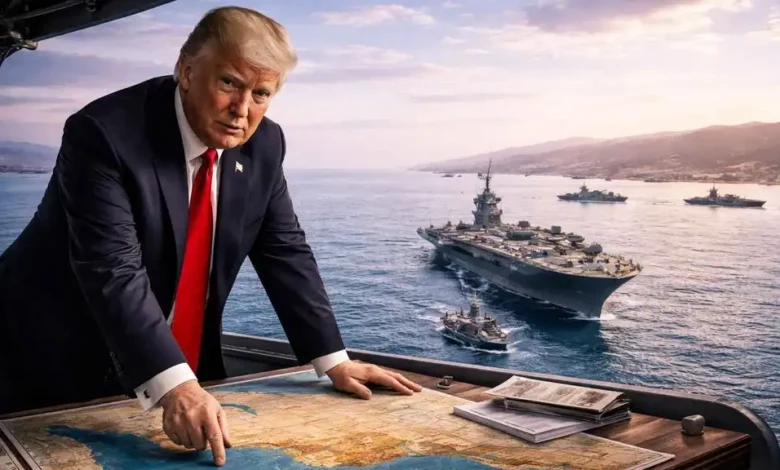
The US president published a map of the vital waterway bearing his name as he rejected an Iranian initiative offering to reopen the strait in exchange for an end to the war.
US President Donald Trump published a map of the Strait of Hormuz on Saturday in which the strategic waterway was renamed the “Trump Strait”. The post coincided with his rejection of a proposal from Tehran for a seven-day truce that would reopen the vital passage in return for the lifting of the US naval blockade.
The map depicts the coastlines of Iran and the United Arab Emirates, as well as the islands located within the strait. It follows weeks of repeated statements by Trump asserting that the United States now controls the waterway, culminating in his proposal to rename it after himself.
The timing gives the move significance beyond its symbolic dimension, as it comes while Tehran is seeking to incorporate the Strait of Hormuz into negotiations aimed at ending the war.
An Iranian official had said that the country was prepared to restore normal navigation through the strait within seven days if the United States eased its military pressure and lifted the blockade on Iranian ports. Tehran conveyed the proposal through intermediaries.
Trump’s decision to rename the strait therefore appears intended to reinforce the US narrative regarding which party has the ability to secure navigation through the waterway, in contrast to Iran’s attempt to use its reopening as leverage in a broader settlement to the war.
The Trump administration had previously maintained that Iran did not control the strait. US officials have also said that Washington wants the Hormuz issue to remain within the framework of maritime security arrangements rather than being treated as a concession to Tehran.
The map also sends a message to the Gulf states, given the strategic sensitivity of the strait and its direct connection to energy-export security and international trade. The waterway is not merely a bilateral issue between Washington and Tehran; it lies in a region where the interests of Iran, the Gulf countries, the United States and international powers concerned with maritime and energy security converge.
The map carries additional significance because Trump had already published one in August describing the area as “new American territory”. He later declared that the United States had “complete control” over the strait and proposed on September 2 that it be named after him.
The move also reflects Trump’s continued reliance on political symbolism and maps to convey his administration’s vision of control and influence. However, the future of this crucial global energy artery remains tied to the course of negotiations and the parties’ ability to reach arrangements that ensure the stable resumption of commercial shipping.