Israeli map challenging Gaza famine claims steals Lebanese territory!
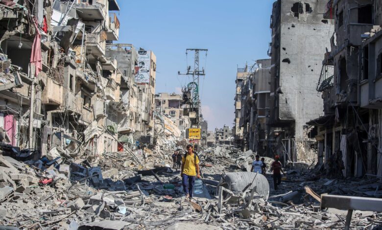
A map published by Israel’s Foreign Ministry on malnutrition in the region sparked controversy after parts of southern Lebanon appeared within Israeli territory before the map was removed, prompting accusations from Beirut and Hezbollah of expansionist ambitions.
-
Gaza donations financed Hamas: arrest of Abu al-Baraa, the movement’s operative in Britain
-
Yellow Line Advances in Gaza, Redrawing New Displacement Maps
A map published by Israel’s Ministry of Foreign Affairs as part of material examining child malnutrition rates in the Middle East has sparked widespread controversy after parts of southern Lebanon appeared to be included within Israeli territory. The version published on the ministry’s English-language page was later removed, reviving debate over Israeli maps of the region and the boundaries of Israel’s military presence in southern Lebanon.
Last Thursday, the Israeli Foreign Ministry published the map as part of material based on data concerning acute malnutrition among children, amid a media campaign aimed at challenging some reports regarding the scale of the food crisis in the Gaza Strip.
-
Israel Resists Pressure to Withdraw from Buffer Zones in Syria, Gaza, and Lebanon
-
Senior UN Official Condemns Hamas’ Obstruction of Humanitarian Aid Operations in Gaza
The map included a statistical infographic comparing malnutrition rates in several countries across the region, with the apparent aim of downplaying the suffering of children in Gaza.
However, the way the borders were represented immediately attracted attention. Parts of southern Lebanon appeared to fall within Israeli territory, prompting Lebanese protests and accusations that Israel was promoting, even indirectly, maps extending beyond internationally recognized borders.
The map was subsequently removed from the official English-language page of the Israeli Foreign Ministry, while a copy continued to circulate on the ministry-affiliated “Israel in Arabic” account on the X platform, as the issue generated widespread controversy.
-
Israel Announces the Killing of a Hamas Nukhba Unit Cell Commander in Gaza
-
Stepping Back from Governance While Maintaining Control on the Ground: What Does Hamas’s Announcement in Gaza Mean?
According to Lebanese and Arab media reports, a Lebanese diplomatic source said Beirut had taken diplomatic action and requested the removal of the map, noting that contacts had been made through Washington to exert pressure for its deletion.
It was not possible to independently verify that American pressure was the direct reason for the map’s removal. Nor, according to the available information, has Israel issued a detailed official explanation clarifying why the map was taken down.
The appearance of parts of Lebanon within Israel was particularly sensitive because of the military and political situation in southern Lebanon, where Israel maintains troops and positions inside Lebanese territory, in violation of international borders, while negotiations continue over withdrawal arrangements and the future of the security zone established by Israel in the south.
-
Gaza Administration Committee Concludes Two Days of Constructive Meetings in Cyprus
-
U.S. Proposal to Replicate Gaza Ceasefire Monitoring Mechanism in Lebanon
In June, Israel had already published a military map showing the area in which its forces were deployed inside southern Lebanon, stating that its troops would remain in what it described as an area necessary for its security. The military map showed an area extending several kilometers into Lebanese territory, while Lebanese reports and analyses referred to a larger area under Israeli control.
Against this backdrop, Hezbollah described the publication of the map as an indication of what it called Israeli ambitions over Lebanese territory. It called on the Lebanese government to halt direct negotiations with Israel and submit a complaint to the United Nations Security Council.
In a statement reported by Arab and international media, the group said that the appearance of parts of Lebanese territory on an Israeli map could not be treated as merely a geographical error. It linked the incident to Israel’s continued military presence in parts of the south and to what it described as Israeli ambitions regarding Lebanese territory and resources.
-
UN Investigation into the Gaza War: Targeting Children Said to Support Genocide Allegations
-
The Expansion of the Yellow Line Is Strangling What Remains of Life in Gaza
Some observers, however, raised the possibility that the incident resulted from an error during the preparation or design of the map, particularly because users who archived the circulated version pointed to other geographical errors in the graphic, including distortions in the borders of countries in the region and inaccuracies in the depiction of certain territories.
Users also circulated the theory that the map may have been designed or processed using automated tools or artificial intelligence. However, there is no official evidence establishing that artificial intelligence was responsible for producing it.
The possibility of a technical error is significant because the map was not originally intended to depict borders but rather to present health-related data.
-
Washington Distances Itself from Netanyahu’s Plan to Expand Control in Gaza
-
Hamas Struggles to Fill Leadership Vacancies as the Gap with Gazans Widens
The Israeli publication was part of a media campaign concerning child malnutrition in Gaza and the wider region and relied on health indicators, including WHZ and MUAC, which are used to assess acute malnutrition.
According to the data cited by the Israeli publication, rates of acute malnutrition among children in Gaza are lower than some estimates and reports cited by Israel in its media campaign.
International humanitarian reports, however, emphasize that the food situation in Gaza has changed as the volume of aid entering the territory has fluctuated, and that acute malnutrition rates can rise or fall rapidly depending on the availability of food, healthcare, water and humanitarian assistance. Consequently, measuring acute malnutrition during a specific period does not, on its own, provide a complete picture of the population’s food security.
-
Bloodshed on the eve of Eid in Gaza: seven killed in Khan Younis and Al-Maghazi
-
Israel assassinates the son of a Hamas leader in Gaza
The latest map also recalls previous Israeli maps that sparked controversy across the Arab world. In 2025, the Israeli Foreign Ministry’s “Israel in Arabic” account published a map presented as a historical depiction of “Israel” in ancient times. It included areas that are now located in Lebanon, Syria, Jordan and the Palestinian territories.
That map prompted widespread criticism across the Arab world at the time, with Arab states and regional organizations describing it as an attempt to promote an expansionist conception of Israel’s borders.
However, the historical map was radically different from the map published in August. The former was explicitly presented within a historical context, whereas the latter appeared as part of statistical material concerning health and nutrition.
-
Southern Lebanon and the Gaza model: an escalation that redraws the map of destruction
-
71.4 billion dollars required for recovery and reconstruction in Gaza
This distinction means that any political connection between the two maps should be approached with caution. At the same time, it helps explain the sensitivity surrounding the latest error, particularly given the actual presence of Israeli forces inside Lebanese territory.
Lebanese analyses indicate that Israel has established a military zone in the south extending several kilometers beyond the border, while some estimates refer to hundreds of square kilometers that have come under direct Israeli control or fallen within an area from which residents are prevented from returning. Human rights organizations say that large-scale evacuations and restrictions preventing residents from returning to certain southern villages raise serious legal and humanitarian concerns.
-
Amputees in Gaza: a symbol of unfulfilled promises
-
Closed since the start of the war with Iran, Israel reopens the Zikim crossing to allow aid into Gaza
Israel, for its part, says that its presence in the area is necessary to prevent attacks and protect its northern communities, and that the continuation of its deployment is linked to the security situation and to the Lebanese state’s ability to fulfill its commitments and prevent Hezbollah from rebuilding its military capabilities near the border.
The controversial map therefore appeared at a moment when three highly sensitive issues intersect: negotiations over an Israeli withdrawal from southern Lebanon, the continued Israeli military presence inside Lebanese territory, and the political and media dispute surrounding competing narratives about the humanitarian situation in Gaza.
Based on what could be observed, Israel’s major mainstream media outlets did not treat the map as an official announcement of the annexation of southern Lebanon.
-
Palestinian Analyst: Gaza Welcomes Eid Amid an Unprecedented Humanitarian Disaster
-
Israel announces the killing of 20 militants in Gaza and the destruction of a rocket manufacturing site and a tunnel
In the Arab world, however, the map quickly became a political issue, particularly after images of it spread across social media and reports circulated that it had been removed from the English-language page of the Israeli Foreign Ministry.
Lebanese media focused in particular on whether the incident was simply a design error or whether it reflected a broader conception of the borders that Israel seeks to impose on the ground.
The incident highlights the extraordinary sensitivity of maps in a region where territorial lines of control are constantly changing. What might appear to be an ordinary technical error in a health infographic can, in a context involving foreign forces inside another state’s territory and negotiations over withdrawal and borders, become a potential political message and a diplomatic crisis.
-
We will repeat the Gaza scenario: Israel plans a large-scale ground invasion in Lebanon
-
Israel prepares to apply the Gaza model in Lebanon
Even more significantly, the map did not need to constitute an official declaration of annexation to generate such controversy. It was enough for Lebanese territory to appear within an area depicted as Israeli, and for the map then to disappear from one of the official pages, for a line drawn on a screen to become a much larger question: was this merely an error in drawing a map, or did the mistake, even unintentionally, reveal a new reality that is gradually being established on the ground?
-
Gaza shakes the Shin Bet: a staggering sum found in the possession of an officer accused of smuggling
-
An American security company seeks a new role in Gaza despite criticism